A few weeks ago, the Ohio River Trail West quietly achieved a major milestone. The ORTW from Downtown Cincinnati to Shawnee Lookout was officially adopted (in its entirety) into the OKI 2040 Long Range Plan on June 9th, 2016!
OKI oversees the spending of millions of federal dollars for transportation projects throughout the Tri-State, including Bicycle and Pedestrian transportation projects. OKI’s Long Range Plan is a strategic vision for where to spend money and resources over the next few decades. While the bulk of the funding they oversee goes to road construction and road improvements, OKI is increasingly focusing on alternative methods of transportation. In fact this latest iteration of the 2040 Long Range Plan identifies some $191M in worthy commuter trails, up from only $2.5M in previous years. It’s very exciting to see such an enthusiastic new focus on making our city bike and pedestrian friendly.
We’ve always viewed the Ohio River Trail as both a recreational AND a commuter trail. In fact, our first several miles have been funded by a federal transportation grant and should be under construction in the next year or so by the City of Cincinnati. Inclusion in OKI’s long range plan will be instrumental as we continue to pursue funding for additional trail segments!
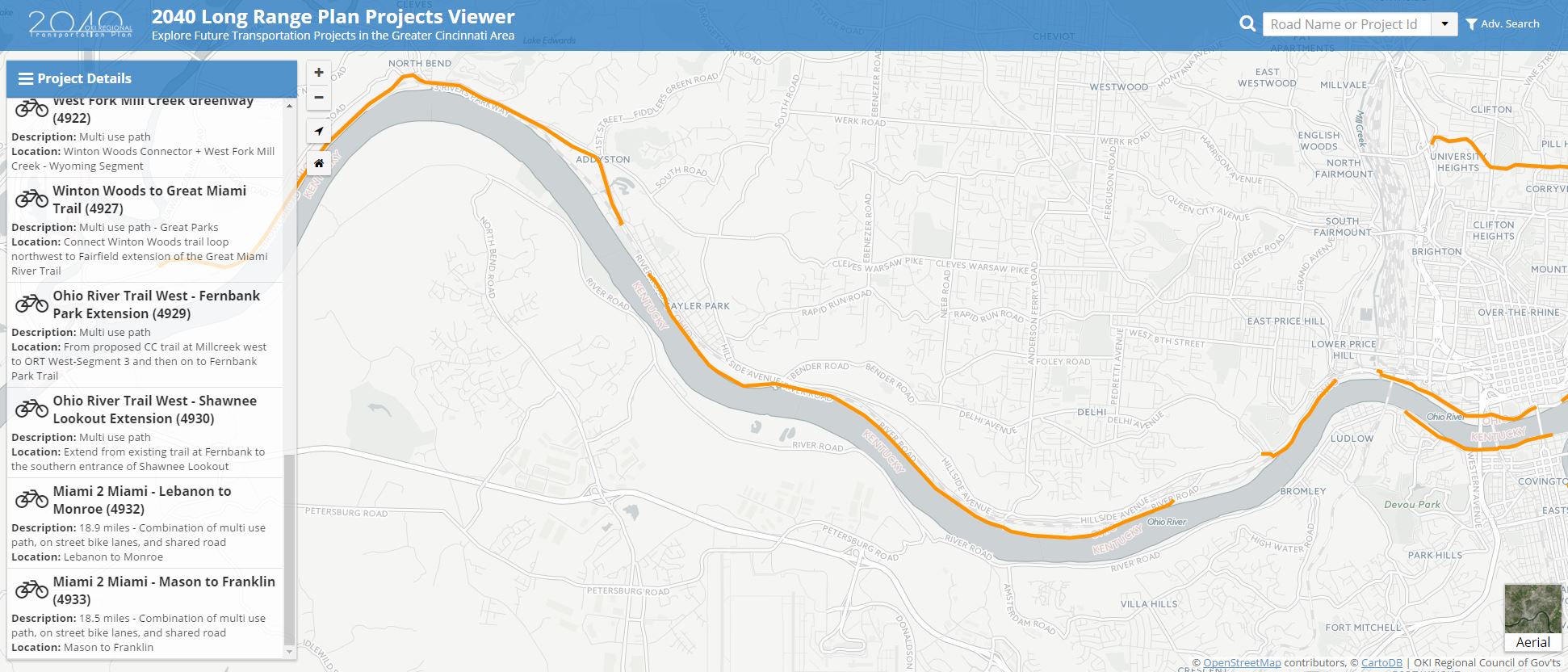
You can check out the complete project list and map here http://maps.oki.org/lrp/#4929, http://2040.oki.org/.